Birmingham's canals: a guide to the cut
Thirty-five miles of canal in the city, by the Canal & River Trust's count, and most of the good bits within a mile of Broad Street. Where the cut starts, how it was built, and where to walk it.
By Only Birmingham Editorial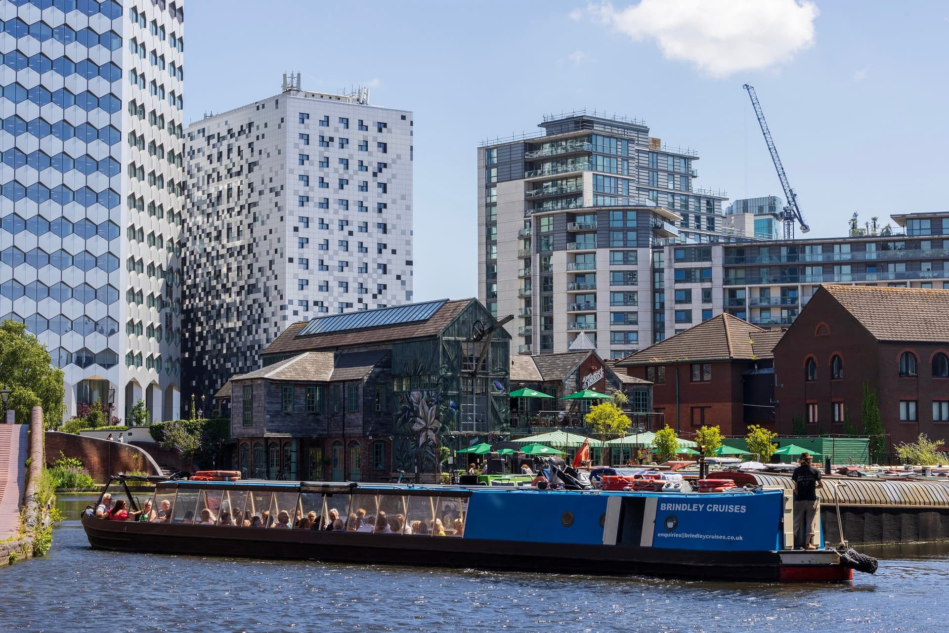
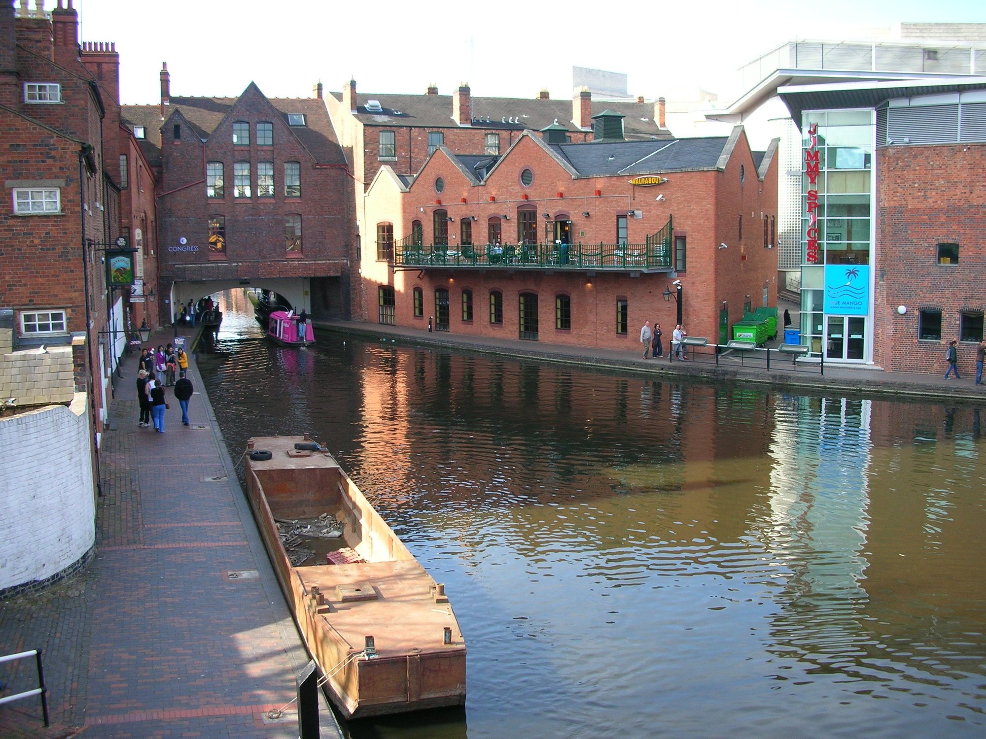
Start at Gas Street Basin, off Broad Street in B1. That is where Birmingham's canals begin, where two of them meet, and where the city's industrial story is easiest to read from a bench. The Canal & River Trust counts 35 miles of waterway in the city and 26 miles of canal in Venice. We will take the extra nine miles, thanks. Here is how the cut came to be, what is where, and how to see the best of it on foot.
How the cut was built
Birmingham's first canal was authorised in 1768 and built over the next four years under James Brindley, opening in September 1772. It was built for freight: by the 1800s, the Trust says, Birmingham was the hub of the Industrial Revolution, and 11 different canals converged on the city, carrying iron, coal and heavy goods in and finished products out.
The Birmingham Canal Navigations, as the network was called, ran to about 160 miles at its working peak, and just over 100 miles of it can still be boated today. Brindley's original Main Line wandered around every hill. Thomas Telford was brought in from 1824 to straighten it, cutting through Smethwick, and by 1838 the New Main Line was finished. The route to Wolverhampton went from more than 22 miles to under 16.
Gas Street Basin and the Worcester Bar
The basin sits between the Mailbox and Brindleyplace, and it is where the Birmingham Canal Main Line meets the Worcester and Birmingham Canal. The two companies did not get on. When the Worcester canal arrived in the 1790s, the Birmingham company refused to let it take its water, and a barrier went in between them: the Worcester Bar, 84 yards long and just over seven feet wide. For two decades, cargo was carried by hand from boats on one side to boats on the other. An Act of 1815 finally put a lock through it.
The bar is still there, with narrowboats moored on both sides and a footbridge onto it from Gas Street. Most of the buildings around the basin were refurbished or rebuilt in the 1990s, but the old wall and ramp down from Gas Street are listed. The big canalside bar on Bridge Street is The Botanist, which was The Canal House until 2024 and, before that, the James Brindley pub.
Farmer's Bridge locks
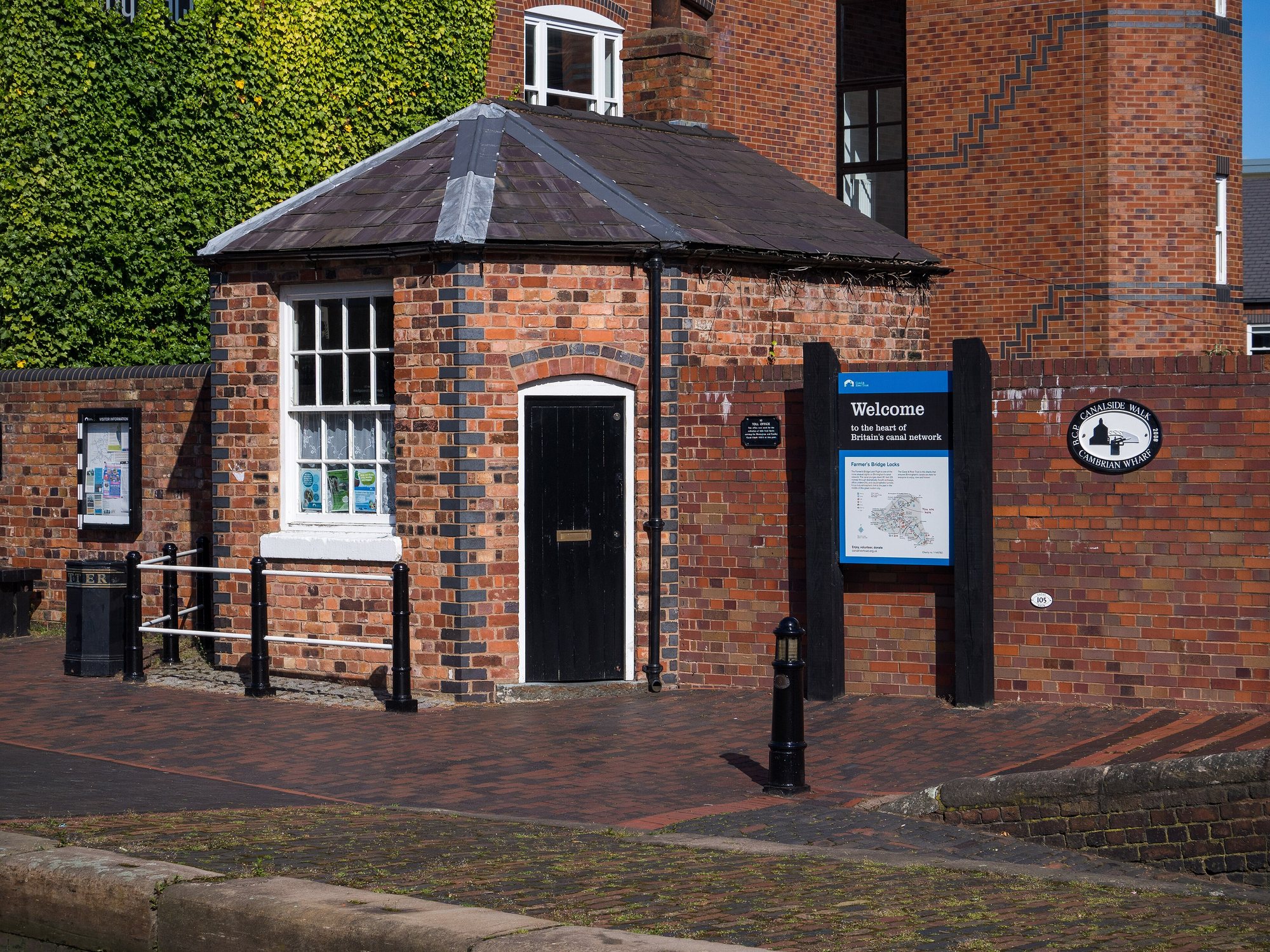
Head north from Gas Street, past the International Convention Centre, to Old Turn Junction. Here the Main Line meets the Birmingham and Fazeley Canal, finished in 1789 with John Smeaton as engineer. Within a few hundred yards it drops into the Farmer's Bridge flight: 13 narrow locks taking the canal down 81 feet under bridges and office blocks. It is the best stretch of working canal in the city centre, and a quiet one on a weekday.
At the top is Cambrian Wharf, the last surviving bit of the old Newhall Branch, now lined with moorings. On the corner is The Flapper, an independent live music and real ale pub that has run since the early 90s with a beer garden on the water. The Canal & River Trust's volunteers run a Toll House Welcome Hub by the locks, and they know the story better than anyone.
The Roundhouse
West of Old Turn Junction, on Sheepcote Street in B16, is the Roundhouse: a horseshoe of stables and stores built in 1873 and 1874 to a design by William Henry Ward. It is owned by the Canal & River Trust and looked after by a charity set up with the National Trust. A note for anyone planning a visit: Roundhouse Birmingham has closed its tours and visitor centre, so the kayaks and guided walks have stopped. The building, its offices and the Italian restaurant on site are still open, and the courtyard is worth the short walk along the towpath.
Black Sabbath Bridge
The Broad Street bridge over the canal was renamed Black Sabbath Bridge in 2019, after the band, and there is a bench on it designed by a fan, Mohammed Osam, with the four members on it. Sit next to Ozzy. Everyone does.
Where the canals go
- The Main Line west runs from Gas Street past the Roundhouse to Smethwick, through Telford's deep cutting and under Galton Bridge, and on to Wolverhampton.
- The Worcester and Birmingham heads south from the Worcester Bar, along the back of the Mailbox, through Edgbaston and past the University to Selly Oak, Bournville and eventually the Severn.
- The Birmingham and Fazeley heads north and east down Farmer's Bridge to Aston Junction, then on towards Tamworth.
- The Digbeth Branch leaves Aston Junction for Digbeth and the Warwick Bar, the start of the Grand Union towards London.
Before you go
The towpaths are free, open and mostly flat, and the city centre stretches are lit and busy. Two rules: give way to anyone on a bike ringing a bell, and stay away from the edge, which is the Trust's own advice. Cyclists are welcome but this is a shared path, not a race track. A good first walk is the loop from Gas Street to Farmer's Bridge and back past Brindleyplace: an hour at a stroll, and the whole history of the place in one go.